DISTANCES TO THE APPENZELLERLAND
| Town | in minutes by public transport | in km |
|---|---|---|
| Zurich airport | 60 minutes | 80 km |
| Munich airport | 300 minutes | 260 km |
| Milan airport | 260 minutes | 300 km |
| Altenrhein airport | 20 minutes | 20 km |
TRAVELLING BY PUBLIC TRANSPORT
All roads lead to the Appenzellerland – or at least all modes of transport. The journey starts with a boat or Appenzeller Bahnen train, bringing you to the larger towns. From there, the PostBus takes you up the hills and the cable cars and mountain trains up to the summits.
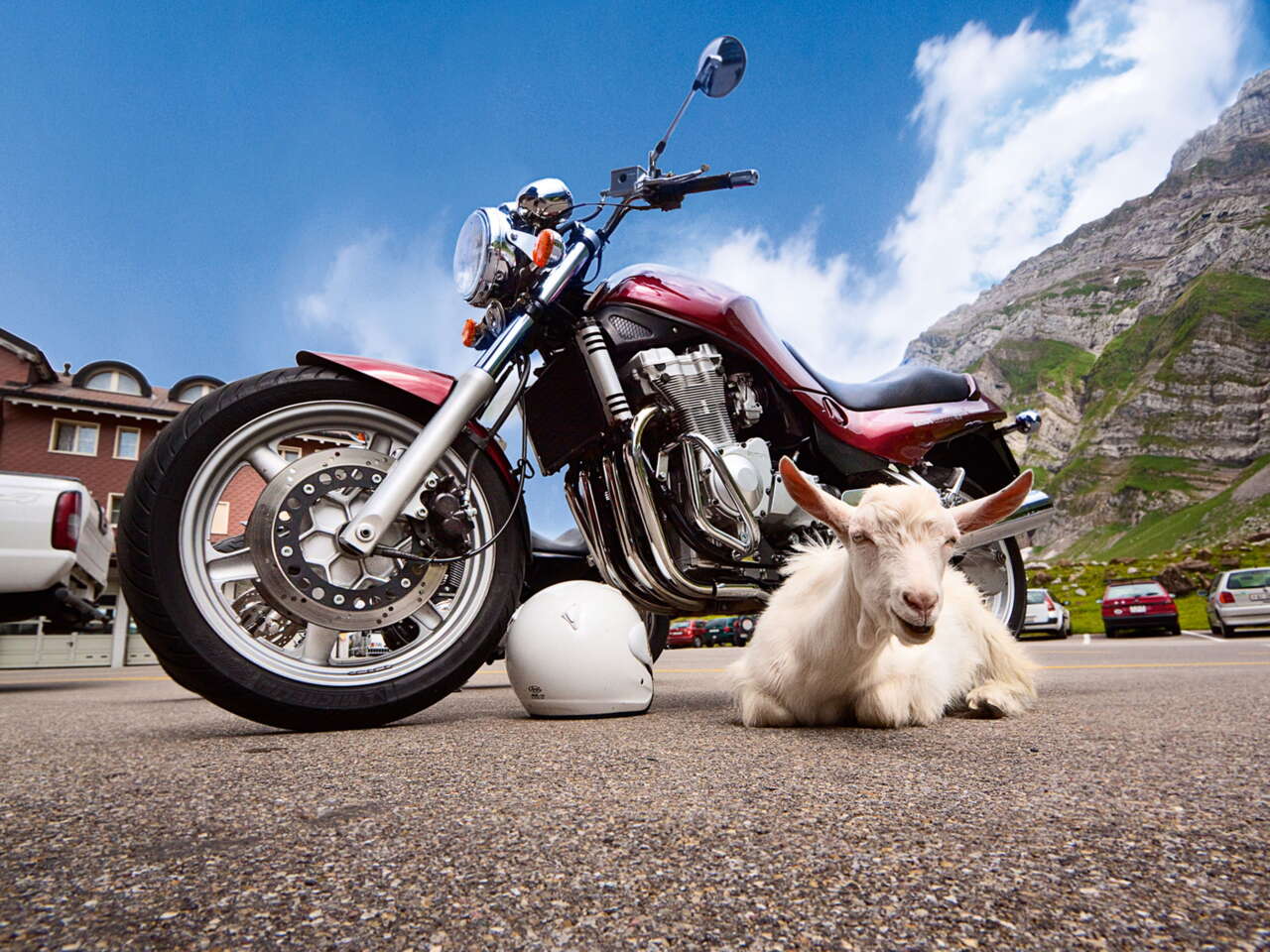
TRAVELLING BY CAR OR MOTORBIKE
You can access the Appenzellerland from different directions by car, depending on where you start and where you want to go.
To the Foreland:
A1 in St. Gallen, exit “St. Gallen Neudorf”, then towards Heiden – A1 in Rhine Valley in Rheineck, exit “Rheineck”, then towards Wolfhalden, Heiden
To the Midland:
A1 in St. Gallen, exit “St. Gallen Kreuzbleiche”, then towards Appenzell, Gais or Speicher, Trogen – A13 in the Rhine Valley, exit “Kriessern”, then towards Altstätten and Gais
To the Hinterland:
A1 in St. Gallen, exit “Winkeln”, follow signs to Herisau